

Geospatial Courses
GIS, GPS, Remote Sensing Courses
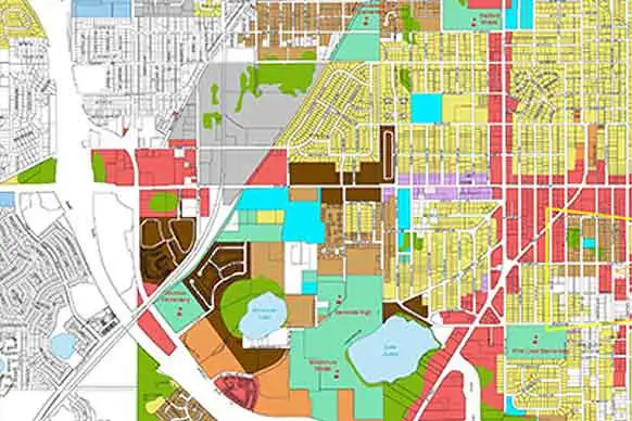
Want to become GIS Analyst, GIS Technician or add value to job profile in the field like Urban Planning, Environment, Geology, Forestry, Agriculture, Mining then its for you.
GIS Programming
Courses
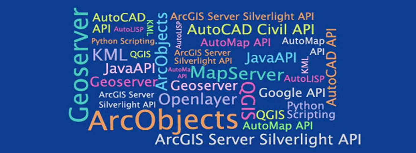
Want to become GIS Developer, GIS Programmer or add value to job profile with skills like ArcPy, ArcGIS Server, GeoServer, LeafLet, OpenLayers then its for you.
Land Surveying
Courses
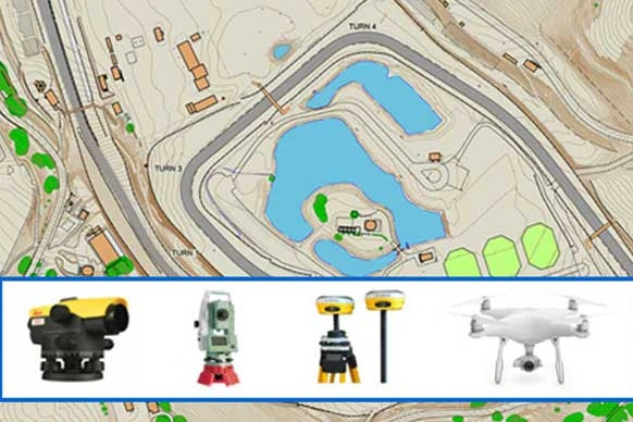
Want to become Land Surveyor, Aerial Surveyor or add value to job profile with skills like Total Station Surveying, DGPS, Drone Surveying then its for you.
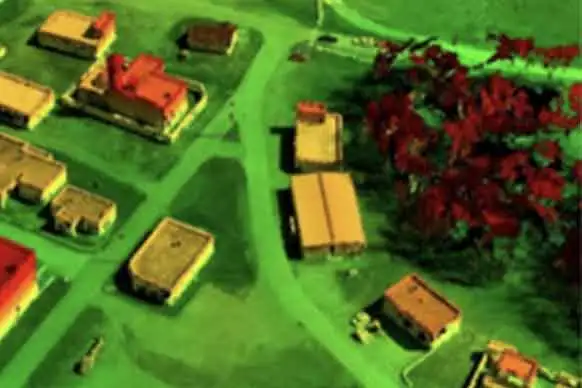
Photogrammetry,
LiDAR Courses
Want to become LiDAR, Photogrammetry Technician or add value to job profile with skills like Aerial Triangulation, Point Cloud Classification then its for you.
Browse Geospatial Courses By Category
Job Oriented courses are for fresher. Curriculum, software tools and key skills are measured based on the inputs of Khagolam Curriculum Advisory Body (CAB) and role analysis by placement cell. Role Analysis includes classification of minimum 500 job description listed on popular GIS job portals to conclude job skills against job role. These course target specific job role and strengthen job opportunities of participants in geospatial industry.
-
Advance Geoinformatics Course
12 months Offline
-
Land Surveyor Course
3 months Offline
-
Drone Surveyor Course
3 months Offline
-
Photogrammetry And LiDAR Course
8 months Offline
-
Full Stack GIS Developer Course
12 months Offline
-
Diploma in GIS & Remote Sensing
6 months Offline Online
-
GIS Course
3 months Offline Online
-
Master in Land Surveying
3 months Offline
Value Addition courses are for working professional or beginners, who want add new skills to their profile or uplift their skill to next level. This includes short term courses on software training, surveying instrument training in related domain of geospatial technologies.
-
GIS for Agriculture Management Course
80 hours Offline Online
-
GIS for Environment Course
80 hours Offline Online
-
GIS for Urban Planning Course
80 hours Offline Online
-
Web GIS Developer Course
6 months Offline Online
-
GeoServer Course
16 hours Offline Online
-
AutoCAD .NET API Training
32 hours Offline Online
-
ArcGIS Server JavaScript API Course
32 hours Offline Online
-
ArcPy Training
40 hours Offline Online
-
ArcObjects Training
40 hours Offline Online
-
QPy Training
40 Hours Offline Online
-
OpenLayers Training
24 hours Offline Online
-
AutoLISP Training
32 hours Offline Online
-
Google Earth Engine Course
32 hours Offline Online
-
PostGRES and PostGIS Training
32 Hours Offline Online
-
Civil 3D Course for Surveyors
32 Hours Offline Online
-
ArcGIS Model Builder and Python Course
1 month Offline Online
-
Spatial Data Science Course
2 months Offline Online
-
Drone Data Processing with Agisoft Metashape
24 hours Offline Online
-
ArcGIS Training
40 Hours Offline Online
-
ArcGIS Online Course
12 hours Offline
-
ArcGIS Pro Training
40 Hours Offline Online
-
AutoCAD Map 3D Course
24 hours Offline Online
-
ERDAS Imagine Training
32 hours Offline Online
-
Global Mapper Training
24 hours Offline Online
-
LiDAR Training
40 hours Offline Online
-
Pix4D Training
24 Hours Offline Online
-
QGIS Course
24 hours Offline Online
-
Total Station Training
4 Days Offline
-
Drone Course
2 days Offline
-
DGPS Training
2 days Offline
-
Drone Surveying Course
5 Days Offline
-
Surveying with Terrestrial Laser Scanning
16 hours Offline
What Participant said:
Specialised Institute for Geospatial Technologies
Special Programmes
Volunteer GIS
VolunteerGIS is a platform to synchronise the efforts of academics, research scholars, industry towards social development
Know moreResearch & Development
Research and development on Agriculture, Water Resource, Environment, Urban Planning, Land Administration topics.
Know moreTranslation of QuantumGIS in Marathi
KIG is translating Quantum GIS open source GIS software in marathi languages.
Know moreAbout Us
Khagolam Institute of Geoinformatics (KIG, ISO Certified Organization, registered as MSME and under Ministry of Corporate affair, Govt of India.) offers research and training on geospatial technologies for tomorrow's challenges. If you intend to have a rewarding career, then you need to show that you have a competitive edge and that you are better than your nearest competitor. The value of the courses awarded by KIG is an example in itself. The training offered by KIG provides required competitive edge to participants. Khagolam provide training in following fields:
- Geographic information System (GIS)
- Remote Sensing
- Photogrammetry and LiDAR
- Global Satellite Navigation System (GNSS), Global Position System (GPS)
- Advanced Surveying Technologies and Instruments like Total Station, RTK Drones
- Application specific Training i.e. GIS and Remote Sensing for Urban Planning, Environment, Agriculture Management, Forestry, Public Health etc.
Training is delivered by professional faculties in online and Offline mode. Course contents aligned regularly with Indian geospatial industry demand to maintain high employability. Real projects datasets used in hands-on exercise, this help to get closer to productivity. Practical and on-site training provided using surveying instruments like Total Station, GNSS, Drone.
Know more