Land Surveyor Course - Information, Fee, Syllabus.
Job Oriented Course
Offline
Duration: 3 months
Land Surveyor Course Information
Course Title: Diploma in Digital Land Surveying
Duration: 3 months
Training Modes: Offline/Hybrid | Full-time
Timing: 4 days a week, 3 hours a day
Timing (fast-track mode): 4 days a week, 7 hours a day
Land Surveyor Course Eligibility
- Knowledge of computers
- Should know basic math and trigonometry
- BE/ Diploma Civil pass or failed from any trade
- ITI pass or failed from any trade
- Experienced Draftsman
Land Surveyor Course Target Job Roles
Total Station Operator
Total Station Surveyor
Land Surveyor
Land Surveyor Course Overview
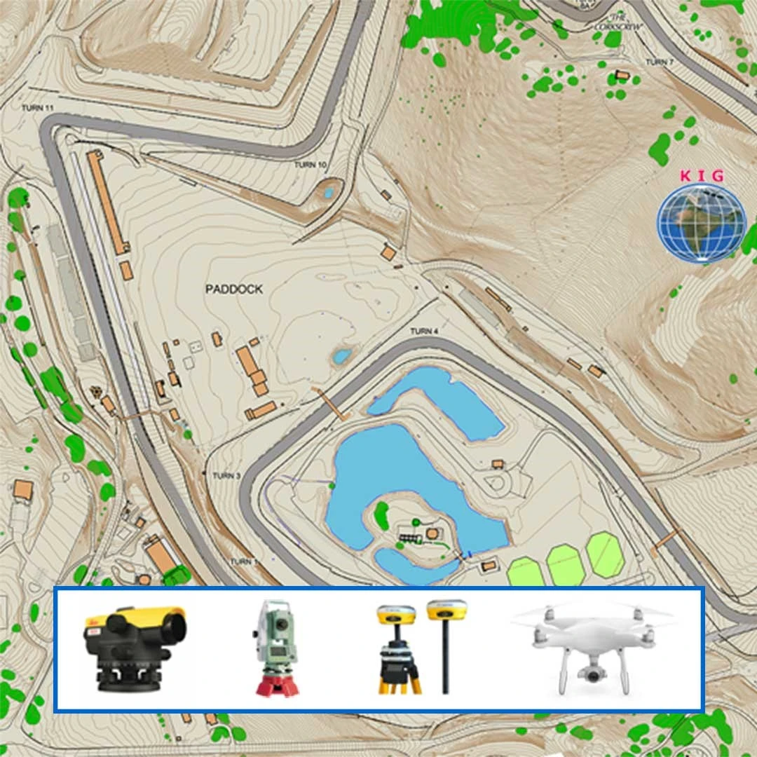
Traditional surveying technologies like plain table, theodolite surveying is replaced by total station and drone surveying technics. Total Station is used construction, cadastral surveying, tunnel surveying, alignment surveying for roads, canals to generate L-Section, Cross-Section. Knowledge of total station and GPS surveying could add benefits in understanding of hybrid surveying terminology which are employed in largest surveying project of India.
This course teaches you advanced surveying terminology with dumpy level, total station and GPS with theory that explain the concepts of surveying followed by practical exercise, which helps to gain practical understanding and essential skill sets required for present surveying industry.
Modules covered in Land Surveyor Course
- Fundamental of Surveying and Mapping
- Geographic Information System
- Working with QGIS
- Introduction to Surveying Technologies (Total Station, GPS, Drone)
- Data Collection for GIS with GPS/GNSS
- Engineering Drawing
- Working with AutoCAD
- Levelling & Surveying with Auto Level
- Surveying with Total Station
- Surveying with DGPS
- AutoCAD Civil 3D for Surveyors
- Project work
Softwares taught in Land Surveyor Course
- QGIS Desktop
- AutoCAD
- AutoCAD Map 3D
- AutoCAD Civil 3D
- E-Surveying
- ArcPad
- SW Maps
Technologies included in Land Surveyor Course
- GIS
- GPS/GNSS
- Surveying
- Hybrid Surveying