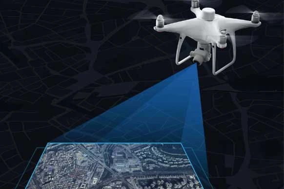
Drone Surveyor Course - Information, Fee, Syllabus.
Job Oriented Course
Offline
Duration: 3 months
Drone Surveyor Course Information
Course Title: Diploma in Drone Surveying and Mapping
Duration: 3 months
Training Modes: Offline/ Hybrid| Full time
Timing: 4 days a week, 3 hours a day
Timing (fast-track mode): 4 days a week, 7 hours a day
Drone Surveyor Course Eligibility
- Engineering graduate from any branch
- Poly-Technic Diploma from any branch
- ITI-Surveyor
- Graduates from Geography, Geology, Environment, Computer Science, IT
- Land Surveyors
- Civil Engineers
- Knowledge of computers
- Non engineering graduate had scored more than 50%
- Should score more than 50% in entrance exam of KIG
Drone Surveyor Course Target Job Roles
Drone Surveyor
UAV / Drone Pilot
Drone Operator/ Data Processor/ Surveyor
Drone Surveyor Course Overview
Project like SWAMITV Yojana, DINLRMP, infrastructure development works create vast scope for drone surveyor, aerial surveyor, Unmanned Aerial Vehicle (UAV) Operator. In India Drone are taking over on the traditional surveying methods like total station surveying whereas knowledge of total station and GPS surveying could add benefits in understanding of hybrid surveying terminology which are employed in largest surveying project of India.
This job oriented training course will take you through GIS concepts and hand-on exercise data transfer, geo-referencing, digitization, GIS analysis. Orientation on traditional surveying technics like total station practically demonstrated. GNSS, DGNSS (GPS, DGPS) concepts with errors and RTK, PPK post processing with hands-on exercise. Drone licensing, legal structure and restriction guidelines by government of India, aerial surveying fundamental concepts and hands-on exercise on, flight planning, simulation, data downloading, image processing using different photogrammetric software's, point cloud classification, DEM editing, removing noise and much more. Manipulation of data point could data for smooth DEM generation covered in popular surveying software tools.
Modules covered in Drone Surveyor Course
- Geographic Information System
- Working with ArcGIS Pro
- Introduction to Surveying Technologies (Total Station, GPS, DGPS, Drone)
- AutoCAD Civil 3D for Surveyors
- Orientation on Drone Surveying
- Surveying with RTK/PPK Drone
- Processing and Photogrammetry with Pix4D
- 3D Modelling with Drone Deploy
- ArcGIS—DroneToMap
- MicroStation for Geospatial
- Working with LiDAR Data
Softwares taught in Drone Surveyor Course
- ArcGIS Desktop
- GPS/GNSS
- AutoCAD
- AutoCAD Civil 3D
- Google Earth Pro
- Pix4D
- Drone Deploy
- Agisoft
- Microostation
- Terra Tools
Technologies included in Drone Surveyor Course
- GIS
- GPS/GNSS
- Surveying
- Hybrid Surveying
- Remote Sensing
- Photogrammetry
- LiDAR

