Photogrammetry And LiDAR Course - Information, Fee, Syllabus.
Job Oriented Course
Offline
Duration: 8 months
Photogrammetry And LiDAR Course Information
Course Title: Diploma in Geoinformatics
Duration: 8 months
Training Modes: Offline/Hybrid | Full-time
Timing: 4 days a week, 3 hours a day
Photogrammetry And LiDAR Course Eligibility
- Any Graduate or above from stream scored higher than 50%
- Must have knowledge of computers
Photogrammetry And LiDAR Course Target Job Roles
GIS Technician
GIS Operator
GIS Surveyor
GIS Executive
GIS Analyst
Remote Sensing Executive
Drone Data Analyst
LiDAR Engineer
LiDAR Technician
Career Opportunities and Scope
is in the field of Urban Planning, Land Records, Utilities, Environment, Drone Industry.
Photogrammetry And LiDAR Course Overview
In the past few decades, the rapid growth of Remote Sensing by Aero-Space technology has brought about a paradigm shift in large scale mapping using photogrammetric technics. 2D & 3D Mapping, DSM, DTM generation become much faster and demanding. The unique advantages of Digital Photogrammetry in terms of precision and accuracy offer opportunities for automation of DEM/DTM and integration of images acquired on a multi-platform (Satellite, Aircraft, Drone) and multi-sensor basis.
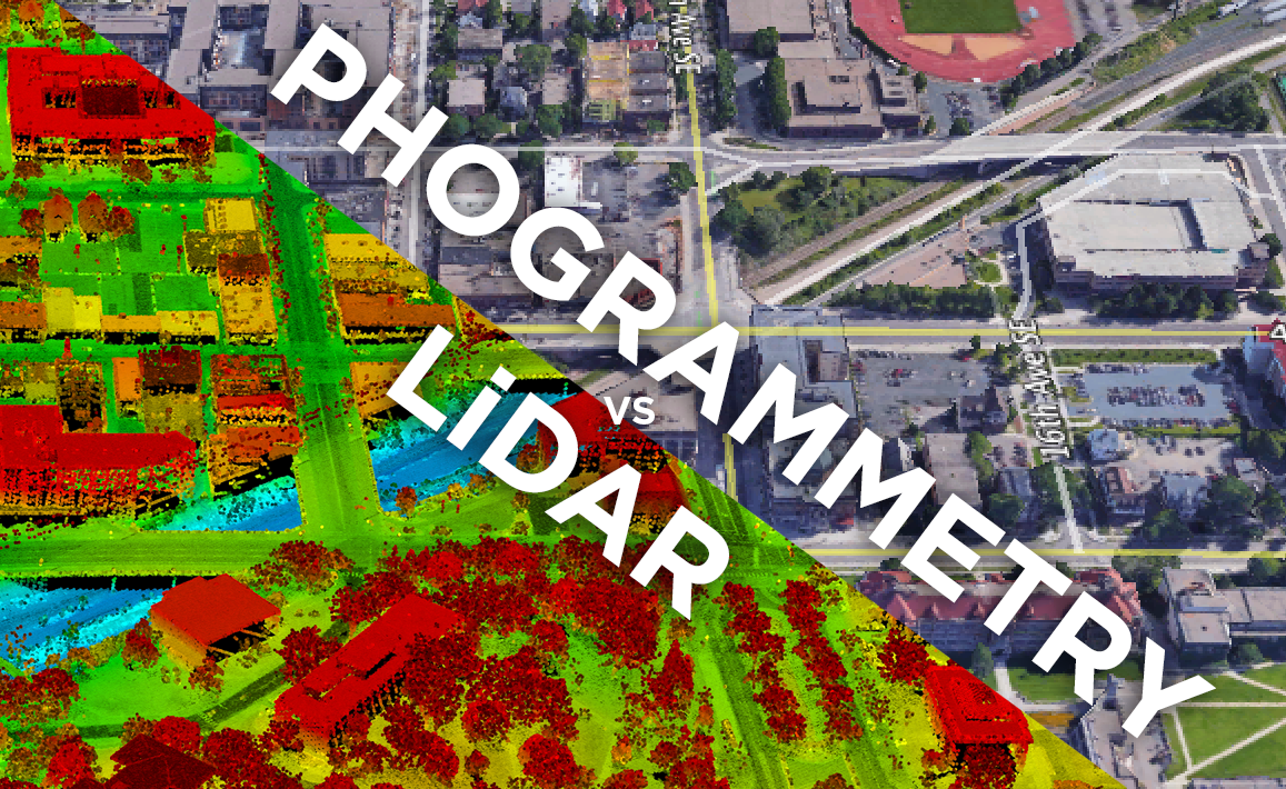
Photogrammetry by Drone is the science and technology of obtaining reliable information about physical objects and the environment through the process of recording, measuring and interpreting photographic images and patterns of electromagnetic radiant imagery and other phenomena. Photogrammetry is used in 3D City modelling, DEM creation, ortho-photo generations.
LiDAR is a method for measuring distances (ranging) by illuminating the target with laser light and measuring the reflection with a sensor. Differences in laser return times and wavelengths can then be used to make digital 3-D representations of the target. It has terrestrial, airborne, and mobile applications.
Modules covered in Photogrammetry And LiDAR Course
- Geographic Information System
- Working with QGIS
- Introduction to Surveying Technologies (Total Station, GPS/GNSS, Drone)
- Data Collection for GIS with GPS/GNSS
- Working with AutoCAD
- Working with AutoCAD Map 3D
- Working with ArcGIS Desktop
- Working with Google Earth Pro
- Adv. Spatial Analysis (3D, Network, Hydrology)
- Working with ArcGIS Pro
- Scripting with Arcade
- Working with Erdas Imagine
- Project Work 1 GIS, RS & Adv. Spatial Analysis
- Working with Pix4D
- Working with Drone Deploy
- Working with Agisoft
- Working with LiDAR Data
- Project Work 2 Adv Surveying & Mapping
Softwares taught in Photogrammetry And LiDAR Course
- ArcGIS Desktop
- QGIS Desktop
- GPS/GNSS
- AutoCAD
- AutoCAD Map 3D
- Google Earth Pro
- ArcGIS Pro
- ArcGIS Online
- Erdas Imagine
- Pix4D
- Drone Deploy
- Agisoft
- Microostation
- Terra Tools
Technologies included in Photogrammetry And LiDAR Course
- GIS
- GPS/GNSS
- Surveying
- Remote Sensing
- Photogrammetry
- LiDAR