Surveying with Terrestrial Laser Scanning - Information, Fee, Syllabus.
Value Addition Course
Offline
Duration: 2 days
Surveying with Terrestrial Laser Scanning Information
Course Title: Surveying with Terrestrial Laser Scanning
Duration: 2 days
Training Modes: Offline | Full Time
Timing: 6 hours/day
Surveying with Terrestrial Laser Scanning Eligibility
- Civil Engineers, Diploma Engineers, I.T.I. Surveyors with 2+ years of surveying industry experiences
- Should know surveying instruments like Total Station
- Should know computers
- Should know engineering drawing fundamentals
- Knowledge of surveying and levelling concepts
Surveying with Terrestrial Laser Scanning Overview
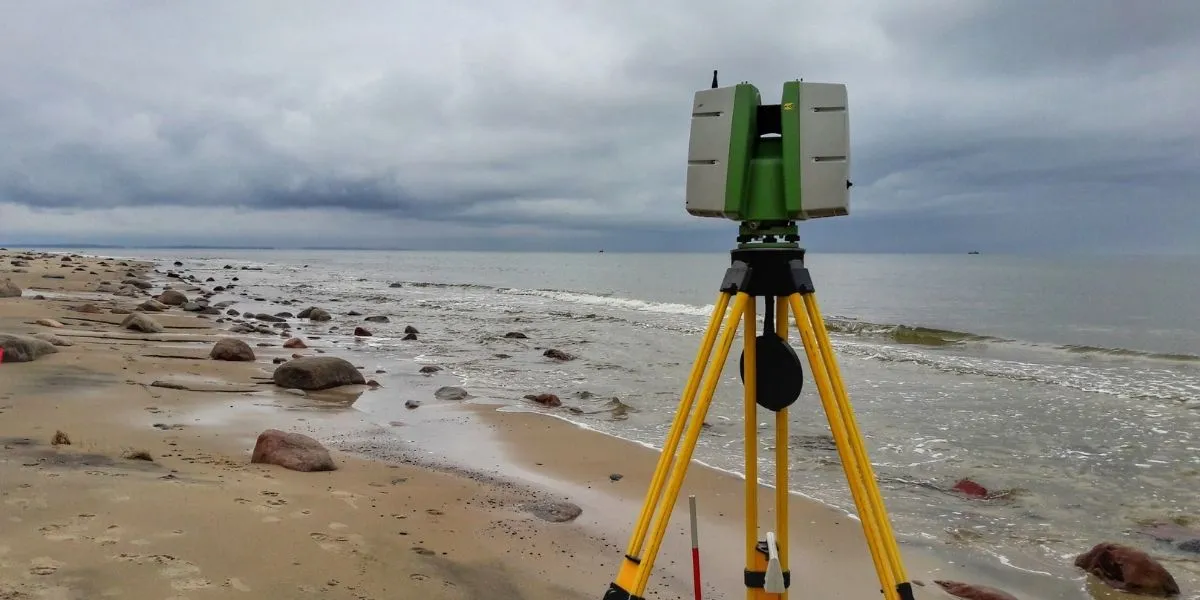
Terrestrial Laser Scanning (TLS) is an advanced surveying technology used to capture highly accurate 3D spatial data of objects and environments using laser beams. It is widely applied in land surveying, infrastructure projects, construction, heritage documentation, mining, and industrial measurements.
This course is designed to provide participants with both theoretical understanding and hands-on experience in TLS data acquisition, field workflows, and basic data processing. Participants will gain practical exposure to real-world scanning scenarios and learn how to generate accurate 3D models and maps.
Learning Objectives of Surveying with Terrestrial Laser Scanning
- Fundamentals & Survey Planning: Overview of terrestrial laser scanning, TLS working principles and scanner types, Comparison with Total Station, DGPS, and UAV LiDAR, Accuracy standards and error sources, Scan planning, target placement, and safety practices, Applications in surveying, construction, GIS, and BIM, Advantages and limitations of TLS
- Field Practical (Full Day): Site reconnaissance and scan layout preparation, Scanner setup, levelling, and configuration, Scanner calibration and initialization, Setting scan parameters (resolution, quality), Multi-station scanning with overlap management, Field quality checks and data validation, Field data organization and documentation
- Data Processing, Mapping & Deliverables: Importing and registering TLS point cloud data, Noise filtering, classification, and ground extraction, DTM/DSM generation and contour mapping, Volume calculations (cut & fill), Cross-sections and profile generation, Export to CAD, GIS, and client-ready formats