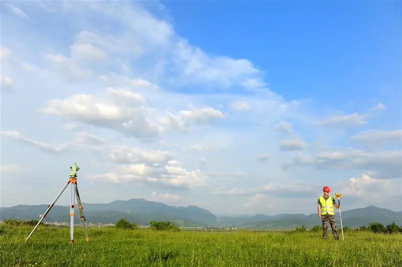
Total Station Training - Information, Fee, Syllabus.
Value Addition Course
Offline
Duration: 4 Days
Total Station Training Information
Course Title: Advanced Surveying with Total Station
Duration: 4 Days
Training Modes: Offline | Full time
Timing: 11 - 6 PM continues 4 Days
Total Station Training Eligibility
- Knowledge of surveying and levelling concepts
- Civil Engineers
- Diploma Engineers
- I.T.I. Surveyors
- 2+ years of surveying industry experiences
Total Station Training Overview
Total Station Surveying is used in all surveying application in India as on today. Total Station is used construction, cadastral surveying, tunnel surveying, alignment surveying for roads, canals to generate L-Section, Cross-Section.
This course teaches you advanced surveying terminology with total station. Concept lecture followed by on-site practical exercise, which helps to gain practical understanding and essential skill sets required for work in surveying industry.
Objectives of Total Station Training
- Define the advantage and disadvantage of Total Station surveying
- Define the vertical and horizontal angle measurement mechanism of Total Station instrument.
- Understand Electronic Distance Measurement (EDM) principles
- Define Rectangular vs Polar coordinate system measurements
- Define How Total Station works, need of TS orientation.
- Define open and close traversing terminology using TS
- Define application of survey using TS
- Perform topographical survey (plain table and contour survey)
- Understand the stakeout concepts
- Perform Stake out / Demarcation of Building Layouts / Plot Layouts / Roads / Alignments
- Understand the various road survey application and terminologies.
- Perform road surveys
- Transfer or Establish Benchmarks
- Measure remote distance and elevation using special function of TS
- Solve trigonometric problems using COGO function on the field / Site
- Perform onsite instrument calibration
- Calculate 2D, 3D area on the field / Site
- Calculate surface volume on the field / Site
- Understand the survey work estimation factors
- Define the procedure for download and upload data to TS
- Define the TS data formats
- Produce simple survey map using AutoCAD.
Technologies included in Total Station Training
- Land Surveying